 Underground cavities can cause cave-ins at surface level with serious consequences.
Old quarries and galleries, as well as natural cavities, are sometimes little known, even unknown. They constitute important risk. Therefore, to protect people, existing buildings, and secure new structures, the localisation and characterisation of cavities is vital. It will reduce risk and protective measures will be taken such as guidance on construction projects and underground consolidation, if necessary.
Many regions in France are subject to this risk: burrows, marl-pits, limestone or gypsum quarries, mines, trenches and military underground passages, cavities created by the dissolution of limestone or gypsum. More generally, all régions of the works are concerned by underground cavities and collapse risk. Areas of strength failure or decompression in the subsoil can constitute a similar risk to cavities. Even though consequences are less impressive, they result in ground settlements likely to cause disorders of major scale on buildings and constitute a risk for people in or near the area (building collapse, structural deformation of rail tracks for instance…)
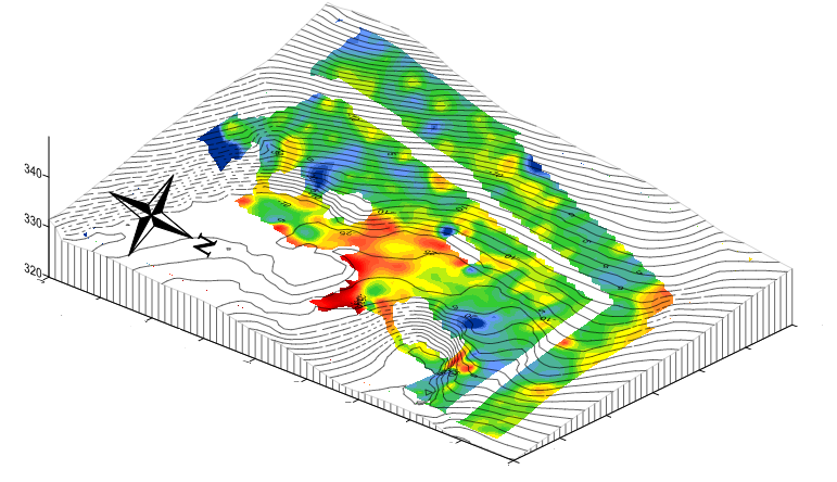
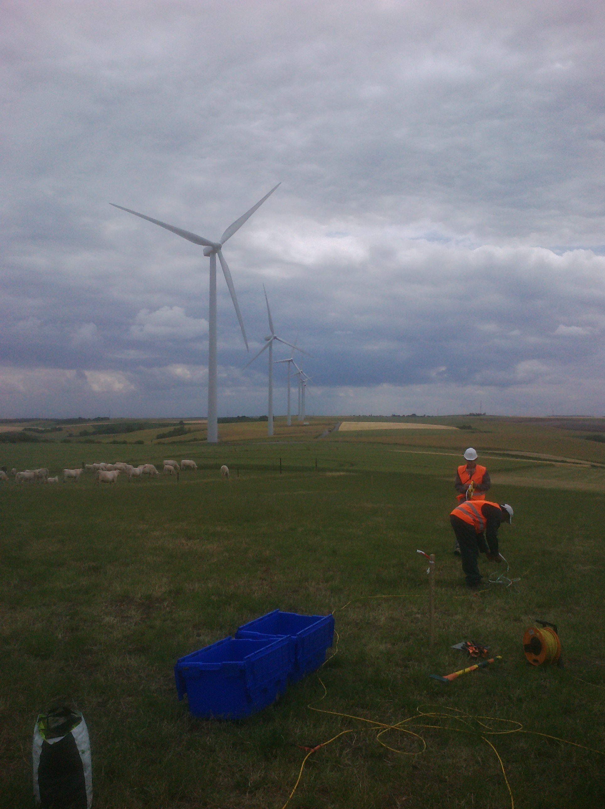
INNOGEO uses various geophysical methods to locate and characterise underground cavities:

Electrical resistivity tomography
Analysis of surface waves MASW
They are used alone or together depending on the case: depth and size of the cavities, nature of the surrounding ground. They are combined with mechanical soundings.

